About the lake
 The Pskov-Peipsi Lake is one of the largest freshwater bodies of Europe and the biggest transboundary lake of the continent. In the list of European water bodies it is the fifth by the water-surface area (3558 km2) and the water mass volume (25.1 km3). The bigger ones are the Ladoga (18390 km2) and Onega (9840 km2) in Russia, Vanern (5545 km2) in Sweden and the Saimaa Lake system (4400 km2) in Finland.
The common Russian name for the Pskov-Peipsi Lake is Chudskoye. The name derives from the word chud’ – the Old Slavic name of the Finno-Ugric tribe residing on the lakeshore.
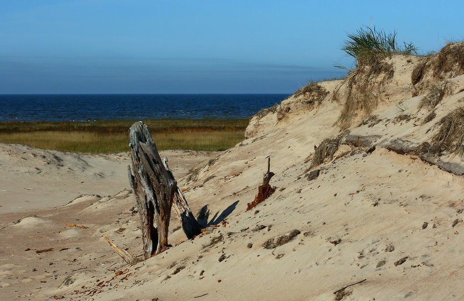
The water area is shared by Estonia (44%) and Russia (56%). The lake plays a big role in the economies of the two countries. Yet, it is not merely used for fishing purposes, but also as an energy resource, a waterway and recreation asset. Geographically, most of the Russian share belongs to the Pskov Region and a part to the Leningrad Region.
About 240 rivers, streams and brooks are tributaries to the lake, with just one river – the Narva (77 km) – having it as its source, and connecting the lake to the Gulf of Finland. The area of the lake watershed comprises 47800 km2,and is oblong and elongated, stretching north to south for 370 km. About one third of the watershed belongs to Estonia and two thirds to Russia. The territory includes around 4500 lakes – all of them small (under 1 km2) – except for the Võrtsjärv, connected to the Peipsi Lake by the Emajõgi. The largest waterways in the basin are: in Russia – the Velikaya (430 km long) and the Zhelcha (107 km), and in Estonia – the Emajõgi (101 km) and the Võhandu (162 km), inflowing into the Tyoploye Lake.
 The lake bed can be conventionally split into 3 parts: the northern – the Chudskoye or Peipsi (from Estonian) Lake of 2680 km2; the southern – the Pskov Lake (Pihkva järv) of 716 km2 and the Tyoploye Lake (Lämmijärv) connecting them like a strait, with the area of 170 km2. The total length of the Pskov-Peipsi Lake is 152 km, and the maximum width is 47 km.
The main constituent of the water input is the river inflow, whose share reaches 80.4%, with 19.2% resting with precipitation. The main tributaries to the lake are the Rivers Velikaya and Emajõgi, whose share amounts to about 80% of the entire surface water inflow. The water outflow is dominated by the overflow stream (82.7%), with evaporation claiming 17.3%. The annual overflow stream through the Narva comprises 12 km3, which is 3% of the entire freshwater inflow of the Baltic Sea. With the volume of the Pskov-Peipsi Lake being 25 km3, the complete water cycle takes 2 years.
The Peipsi Lake is the deepest part of the water body, with 80% of it 6 m or deeper. The Peipsi Lake is connected to the Tyoploye Lake by the two straits – west and east of the Piirissaar Island – referred to the Estonian and the Russian Gates respectively.
The Tyoploye Lake (Warm) is the shallowest part of the bed – the average depth here is 2.5 m. However, it is this part that hosts the deepest spot of the Pskov-Peipsi Lake (15.3 m), approximately one and a half kilometer from the Mehikoorma Island, opposite from the village of Pnyovo. The Tyoploye Lake derives its name from its hydrological peculiarities: in the spring and winter the water here is much warmer than in Lakes Peipsi and Pskov. In the winter, the entire volume of water of the lake warms the ice cover, while in the deeper Peipsi Lake the ice cover is warmed by only a few meters of water directly under the ice. In the spring, because it is shallow, the Tyoploye Lake warms through faster than the water mass of the Peipsi. In the summer, this lake is also warmer than the other two, although in the fall the cool down here is faster.
 The Pskov Lake is considerably smaller and shallower that the Peipsi, and in its temperature regime is similar to the Tyoploye.
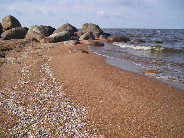
There are over 30 islands in the Pskov-Peipsi Lake. The biggest are the Kolpino Island (11.1 km) and Kamenka (4 km) in the Pskov Lake, and Piirissaar (7.5 km) in the Peipsi Lake. The group of 3 islands located by the eastern shore of the Pskov Lake is called the Talabs and serves a local landmark. The total square of all islands is 27.2 km2, which comprises 0.8% of its territory.
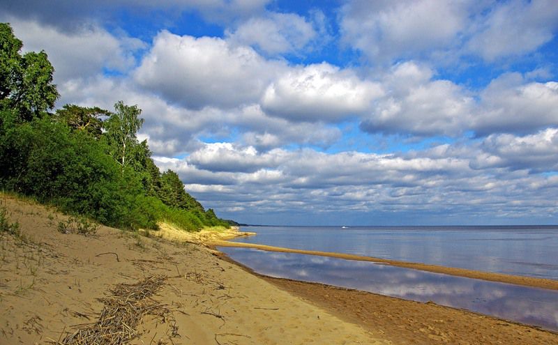
The average water level in the Pskov-Peipsi Lake is at the mark of 30 m above sea level, yet its fluctuations are quite considerable – up to 3.04 m. Depending on the current fluctuations of the water level, the surface are of the Pskov-Peipsi Lake may change within 850 km2, and its volume within 11.15 km3. Since the lakeshore is mainly low-lying and swamped, it is subject to annual spring floods.
The peculiarity of the Pskov-Peipsi Lake is that low water years regularly alternate with high water ones. The reason for that is solar activity. In short, high waters are linked with higher solar activity and the other way around.
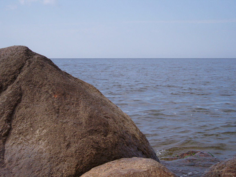
The prevailing winds over the Pskov-Peipsi water body are south-western, southern and western. The windiest month is October, and the quietest is July. Waves in the Pskov-Peipsi Lake are short and sharp, which is typical of shallow lakes.
 The first littoral ice is formed in early November. The freezing-over starts in the shallow parts subject to quick cool down, and by mid-December the entire lake is covered. The ice cover is thickest in mid-March – 60 cm on average and sometimes over 1 m. The Tyoploye Lake starts losing ice cover in early April, with the Pskov and Peipsi to follow in mid-April. Usually the lake is free of ice by the end of April, but in some years there can be some ice in the north of the lake even in late May.
On the whole, the relatively shallow Pskov-Peipsi Lake is of the eutrophic type. The water column is well-heated in the summer, and the flat lakebed is rich in ooze and vegetation, providing comfortable conditions for fish. The dominant animal and vegetative species are typical of the eutrophic water bodies.
Since 1969, the complex research of the ecosystem of the Pskov-Peipsi Lake has been conducted on the regular basis. The studies are carried out by the weather services of Russia and Estonia, the Institute of Zoology and Botany of the Estonian Academy of Sciences, the Pskov branch of the National Research Institute of Lake and River Fisheries (GOSNIORKH), and Pskov State University.
In 1997 the Governments of Russia and Estonia signed the Agreement on Cooperation in the field of Protection and Rational Use of Transboundary Waters. To coordinate efforts in the implementation of the Agreement, the respective Joint Russian-Estonian Intergovernmental Commission was established.